


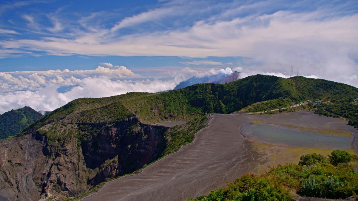
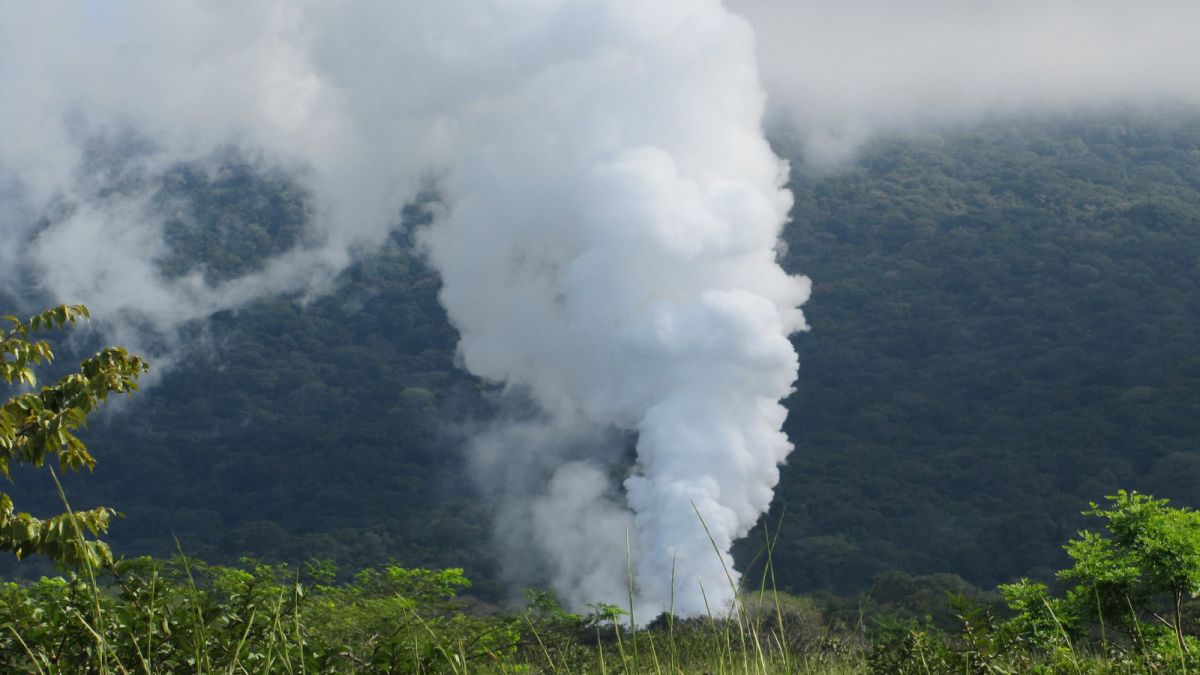
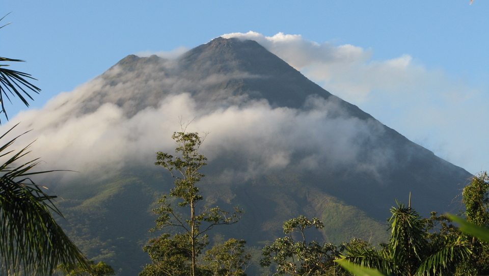
With its 51,100 square Kilometers Costa Rica is after El Salvador the smallest country of Latin America. In the north it borders Nicaragua, in the south Panama. At first sight a natural division into three geographical areas appears. From northeast to southwest: the Caribbean low land at the Atlantic side, the hilly coastal foreland on the Pacific side and between them the cordillera with volcanic origin. The latter is generally divided into four sections. The Cordillera de Guanacaste in the north with the volcanoes Orosi, Rincón de la Vieja, Miravalles, Arenal, the Cordillera de Tilaran, the Cordillera de Guanacaste southeast and the Cordillera de Talamanca with the highest elevation of 3.820 m - the volcano Chirripo.The terrestrial connection between North and South America took place approximately 100 million years ago. Everyday light earthquakes remind the people of the continual progress of evulation.
The most important residential area lies in the center of the Cordillera central, which widens itself to a hilly plateau - the Meseta central, here are the most well-known and best opened volcanoes of the country (Poás, Barva, Irazú, Turrialba). They reach heights of over 2.500 meters. From the geological view Costa Rica is like the whole Central American countries a young country which functions like a bridge.
The last major quake took place in 1991 and caused damage to streets and bridges, even the coastal line changed. The cordillera obviously function as a continental water-shed. Numerous torrents rush down gorges and fall into the large rivers of the lowlands. The most important rivers leading to the Pacific ocean are the Terraba (196 km), the Tempisque (159 km) and the Tarcoles (115 km); to the Atlantic ocean lead the following rivers: the Rio San Juan (135 km), the Pacuare (134km), the Rio San Carlos (125km) and the Reventazon (110 km). The interaction of all of these circumstances cause the incredible variety and change within Costa Rica. Within one day you can cross the whole country from the Pacific to the Atlantic without large effort and in doing so, traveling through height differences of over 1000 m. Furthermore one experiences diverse climatic and geografical changes such as jungles, sharp cliffs with fantastic panoramic views, canyons, waterfalls, lakes, volcanoes and swamps.
We would like to thank all our guests who have been travelling with us since 1994 in the most beautiful time of the year - their well-deserved holidays. When developing itineraries for groups and individual travelers, selecting our local service partners and caring about the well-being of our guests, we always focus on the highest possible quality standards. Since the founding of Amadeus Travel, we have been committed to sustainable tourism as the only long-term viable form of tourism, e.g. through our social commitment, visiting and supporting private and state nature reserves as well as the training of our team and experienced, fully licenced tour guides.